08 February, 2020
Bureau Report
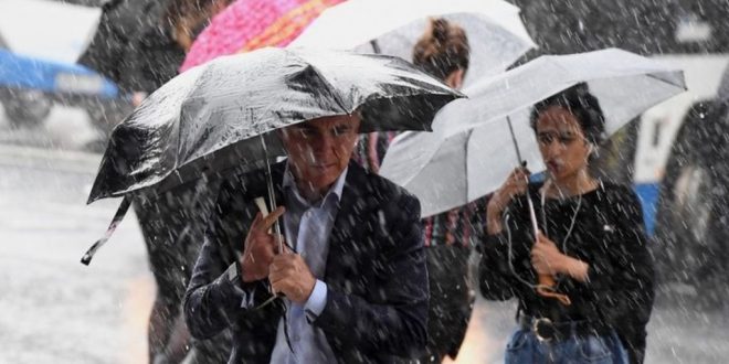
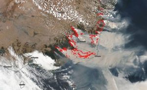 SYDNEY/ MELBOURNE: The Australian state of New South Wales (NSW) is braced for severe wet weather this weekend as downpours ease the bushfire crisis in the region.
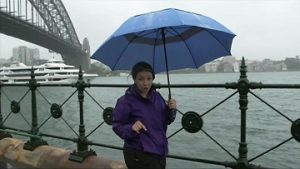
Severe weather warnings for rain, winds and flooding have been issued for coastal areas of the eastern state.
Australia’s Bureau of Meteorology (BOM) warned of “dangerous conditions” on Saturday and Sunday.
There has already been flooding in Sydney and other areas along the coast.
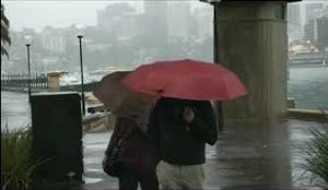
Friday was the wettest day recorded in well over a year in Sydney, where roads were closed and public transport delayed.
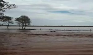
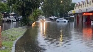 Other NSW towns faced flood waters as well, including Byron Bay and Coffs Harbour, where 280mm and 250mm of rain fell respectively.
The heavy rains are expected to continue until early next week, providing relief to some drought and fire-ravaged areas.
NSW Rural Fire Service said the rain had extinguished a third of the blazes there, but as of Friday, 43 were still burning.
“Good rainfall is being recorded in parts of the state, with a hope it continues to drop where needed most,” the fire service said.
A weather system developing off the east coast of New South Wales is forecast to intensify over the weekend, after moving south from neighboring Queensland.
 The BOM has issued a severe weather warning for a large stretch of coastline, from Coffs Harbour in the north to Batemans Bay in the south.
Heavy rainfall is likely to cause flash flooding in parts of the Mid North Coast, lower Hunter, Sydney Metropolitan, and Illawarra regions, and eastern parts of the Central Tablelands, the BOM said.
Damaging winds of up to 55mph (90 km/h), abnormally high tides, and damaging surf conditions were also forecast in parts of the affected area.
The State Emergency Service in New South Wales advised residents to leave low-lying areas “well before flash flooding begins” but “only if it is safe to do so”.
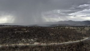 Weather warnings are also in force in Queensland, where severe thunderstorms are forecast “to produce heavy rainfall that may lead to flash flooding”.
Meanwhile in Western Australia, residents are hunkering down as a tropical cyclone approaches the state’s northern coast. The cyclone is forecast to hit coastal areas on Saturday, unleashing powerful gusts and torrential rain.
NSW fire officials said they were “over the moon” to see the state’s forecast for a week-long drenching come to fruition.
“This isn’t just one of those scattered showers we saw a month ago,” NSW Rural Fire Service (NSWRFS) spokeswoman Angela Burford told the BBC. “This is really helping our firefighters, and in some places, giving them a well-needed rest.”
 However, Ms Burford warned that the largest blazes, in the state’s inland south and near the capital city of Canberra, had received limited showers so far and were still of concern.
Much of NSW has been in drought for over three years, and such conditions have fuelled the intensity of the summer’s unprecedented fires. Some fires, which were finally contained this week, have been burning for over two months.
NSW fire chief Shane Fitzsimmons said hotter and drier conditions were expected to return in the coming weeks. The state’s bushfire season, which began in September, could run until as late as April.
However, he said this particular period of rain “is breaking the back of this fire season, no doubt”.
 NSW has been the state most devastated in Australia’s 2019-20 bushfires crisis. The unprecedented scale and intensity of the blazes is a direct effect of climate change, scientists say.
Officials have warned that the peak of fire danger is still to come for the southern states of Victoria and South Australia.
Nationally, blazes have killed at least 33 people and destroyed thousands of homes. More than 11 million hectares of land – an area comparable to the size of England – has been scorched.
 Pressmediaofindia
