Related Articles


15-12-2022
Bureau Report + BBC
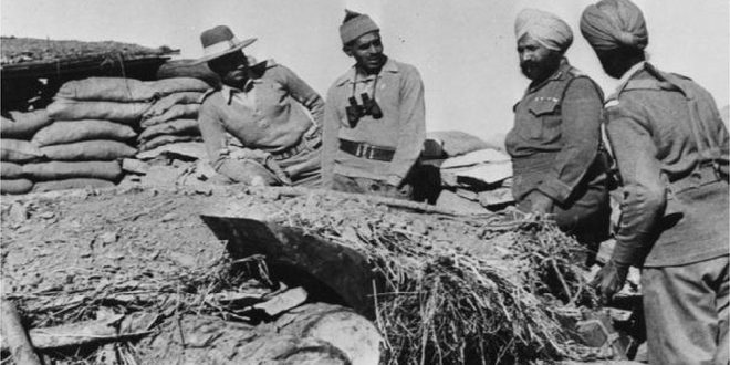
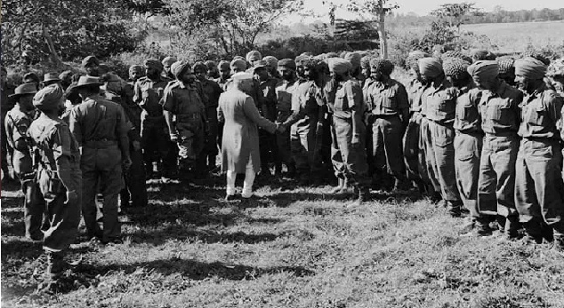
NEW DELHI: The fighting began early on a bright autumn morning 60 years ago.
On 23 October 1962 Chinese solders entered and engaged in intense artillery fire in what was then a far-flung Himalayan region in north-eastern India called North-East Frontier Agency (NEFA), bordering China and Bhutan.
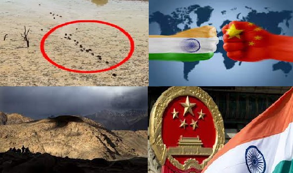
 Today it is Arunachal Pradesh, an Indian state with more than a million people that China continues to claim as its territory, and where the latest flare-up between the two sides in more than a year took place.
“Explosions lit up the sky and echoed between the mountains,” Indian army personnel told Bertil Lintner, a Swedish journalist and author of the China’s India War: Collision Course on the Roof of the World.
Chinese soldiers overran an Indian position, killing 17 Indian soldiers and capturing 13 others. Facing little resistance from the surprised and ill-equipped Indian forces they forged ahead. Next day, they seized Tawang, a Buddhist monastery town nestling in a nearby valley.
The Chinese marched south. By mid-November, they had reached the town of Bomdila, a monastery-town near a hill and barely 250km (155 miles) away from Assam, home to India’s thriving tea gardens, oil fields and jute plantations.
And then, on 21 November, the Chinese declared a ceasefire and swiftly withdrew to 20km north of the hazy, de-facto border between the two countries, known as the Line of Actual Control and delineated by maps made in British ruled-India.
 “The war was over. Within a couple of weeks PLA soldiers were back on the Chinese-controlled part of the mountains,” noted Mr Linter. Indians counted the loss of 1,383 soldiers and nearly 1,700 “missing in action”. Chinese records put Indian casualties at nearly 4,900 dead and another 3,968 captured alive.
Manoj Joshi, an Indian defence analyst and author of a new book Understanding The India China Border, says it is unclear why the Chinese withdrew.
“Was it because their supply lines were extended? Were they afraid of US intervention? Or was it the fact that they were not too serious about their eastern (border) claims?” he said.
The contentious Sino-Indian border is divided into three areas: the western sector around Ladakh; the middle sector made up of the boundary between India’s Himachal Pradesh and Uttarakhand states with Tibet; and the eastern sector consisting of the boundary at Arunachal Pradesh.
Experts say it is a really a “notional line” Indians say it is 3,488km long; the Chinese say it is a little over 2,000km.
 India claims the plateau of Aksai Chin, an area of the size of Switzerland that China controls in the western part of the border. China claims Arunachal Pradesh.
The eastern border, 1,126km long, according to India and never recognised by China at Arunachal Pradesh is formed by the McMahon Line. It is named after a British man – Henry McMahon who was the Indian foreign secretary in 1914.
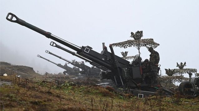
Asia’s two biggest countries and nuclear-armed neighbours – have developed agreements to stop skirmishes in what is one of the longest-running border disputes in the world. The two sides have largely kept the peace, but have also routinely blamed each other for transgressions and incursions but China has not given up its claims on Arunachal Pradesh and still refers to most of the region as “South Tibet”. Last year the Chinese ministry of civil affairs renamed several places in the disputed area, with state media saying that China’s territorial claims had a “historical and administrative basis”.